Status: Ongoing
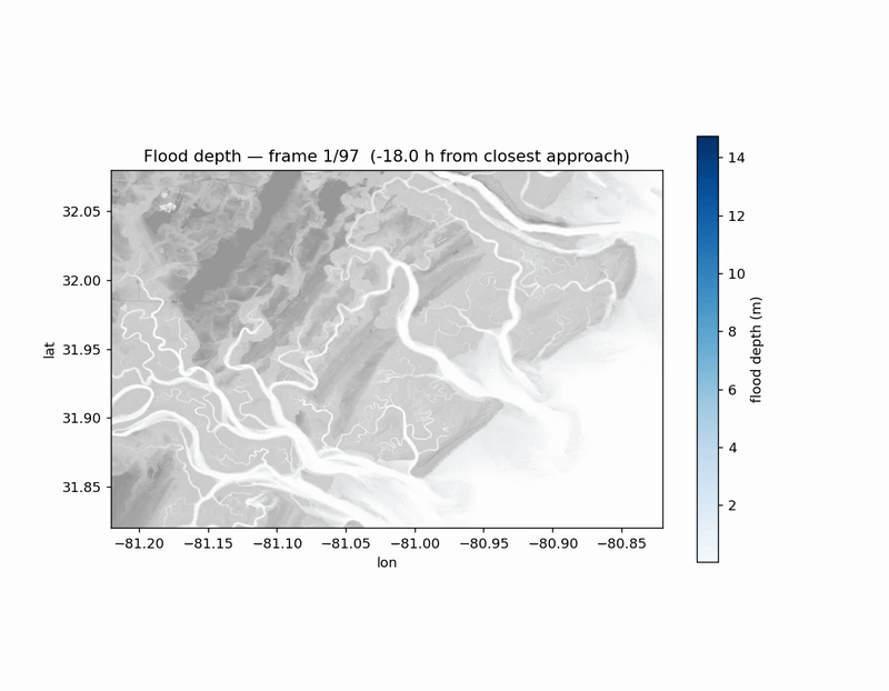
Coastal adaptation planning under uncertain sea-level rise conditions requires evaluating many intervention strategies across a range of storm and sea-level futures. This project develops a machine learning emulator of a coupled hydrodynamic-hydrologic model for coastal Georgia to enable faster, ensemble-based exploration of adaptation options.
A coupled GeoClaw-LISFLOOD-FP model simulates water levels for synthetic storms, sea level rise scenarios, and topographic interventions. The emulator learns mappings from tropical cyclone, sea level, and intervention parameters to flood depth fields, conditioned on static landscape characteristics.
Key Questions
- How closely does the emulator reproduce flood depths and extents from the physics model?
- How well does it generalize to configurations not sampled during training?
- What computational speedup is achievable while maintaining acceptable error margins?